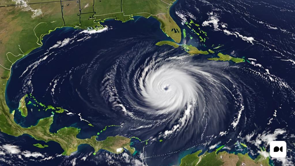
Early start to hurricane season
The 2024 hurricane season has begun early with the formation of Tropical Storm Alberto, and renowned meteorologist Mario Picazo has issued a crucial warning about its arrival. This phenomenon marks an early and potentially active start to the season, generating concern and the need to be prepared for possible severe impacts in various regions.
The surprising formation of Tropical Storm Alberto
Tropical Storm Alberto has developed in the Atlantic, surprising experts and citizens alike due to its formation before the official start of the hurricane season, which traditionally begins on June 1. Mario Picazo, with his vast experience in meteorology and his ability to communicate climate risks, has emphasized the importance of taking this storm seriously, given that it may be a precursor to a particularly active season.
The destructive potential of Tropical Storm Alberto
Alberto has been characterized by his rapid development and uncertain career. According to the latest reports from the National Hurricane Center (NHC), the storm has sustained winds of 85 km/h and is moving in a northwesterly direction at a speed of 20 km/h. It is expected to make landfall somewhere in the southeastern United States, although its path may still change, potentially affecting more areas in the Caribbean and the east coast of North America.
Mario Picazo has stressed that, although Alberto has not reached hurricane status, its destructive potential should not be underestimated. Tropical storms can cause significant flooding, landslides, and power outages, especially in vulnerable and infrastructure-poor areas.
Impact in different regions
The arrival of Alberto will bring torrential rains, strong winds and possible waterspout formations in several regions of the country. Torrential rains will mainly affect Campeche, Chiapas, Quintana Roo, Tabasco and Yucatán. Oaxaca and Veracruz will face heavy rains, while Puebla will have very heavy rains. In addition, gusts of wind and waves are expected on the coasts of Quintana Roo and Yucatán, with possible waterspouts.
On the coasts of Campeche, Chiapas, Oaxaca, Tabasco and southern Veracruz, winds and waves are forecast, with the same possibility of waterspouts. Authorities have urged the population to stay informed and take precautions, such as avoiding crossing swollen rivers and streams, securing objects susceptible to being blown away by the wind, and having an emergency kit prepared.
Heavy rains and strong winds can also cause landslides, increases in the levels of rivers and streams, overflows and flooding in low-lying areas. In addition, possible waterspouts are expected on the coasts of Tamaulipas and Veracruz, so the authorities called on maritime vessels to take extreme precautions.

