A week of persistent rain
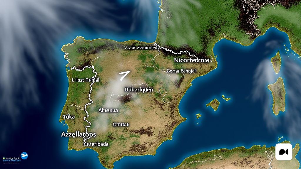
After a week marked by rainy weather conditions in much of Spain, the news does not seem to promise improvements. Weather forecasts indicate that the rains will be even more abundant and will affect a wider area of the country.
The consequences of an impending storm
Meteorological experts warn that an approaching storm can lead to a complicated climate situation, with precipitation that will last for several days. This will cause weather instability to remain in much of the territory.
Key dates for the rains
From Tuesday, the rains will be the protagonists of the week. According to forecast models, the rainfall is expected to intensify and its impact to spread over several days. The most affected areas will be the west and center of the peninsula, with significant rainfall between Tuesday and Wednesday.
Roberto Brasero and his forecasts
The well-known meteorologist Roberto Brasero has warned about the possibility of moisture fronts coming from the Atlantic throughout the week. According to him, the rains will be distributed across the country, mainly affecting the northwestern, central and some parts of the southern regions.
Rain impact and precautions
This wave of rain will not only bring a feeling of humidity characteristic of autumn, but it can also cause complications in certain areas due to the accumulation of water. Authorities have recommended keeping an eye on weather alerts and taking precautions, especially in flood-prone areas.
Complications in travel
Road travel could be difficult in various parts of the country, so it is advisable to avoid unnecessary travel during this period.
The end of the storm on the horizon
Until Friday, the rains are expected to continue, but Brasero noted that, starting at the weekend, we could see a break in this rainy dynamic. Thus, conditions could gradually improve, offering the population a break after an intense week of storms.

