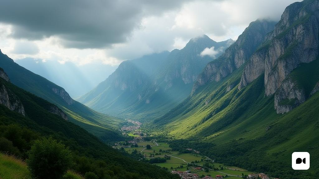
Meteorological instability in Catalonia
Catalonia starts a new week with an unstable climate that promises surprises. This Tuesday, an increase in stormy activity is anticipated as a new line of instability is manifested, especially from noon.
Alert areas: Pyrenees and Land of L’Ebre
The mountainous regions of the Pyrenees and Pre -Pyrenees, including L’Lt Urgell, La Cerdanya, the Ripollès and the Berguedà, are under special vigilance. The formation of intense storms that could bring hail and strong wind bursts is expected, with rain accumulations that could exceed 20 mm in short periods.
FAVORABLE CONDITIONS FOR STORMS
The Meteorological Service of Catalonia has issued specific alerts for these areas, warning about the possibility of hailstorms. Likewise, in the south of the region, particularly in Les Terres de l’Ebre, the interaction between an active marinade and cold air in the high layers of the atmosphere could lead to high development storms.
Perspectives for the rest of the region
In other parts of Catalonia, the panorama will be more variable, with clouds that will increase during the day, but with a lower risk of significant rains. In the Metropolitan Area of Barcelona and on the central coast, the storms that are presented will be lighter and more scattered.
Climatic patterns and projections
This phenomenon is part of a spring instability pattern that has been affecting the northeast of the Peninsula. The main cause is an anticyclonic block in northern Europe, which allows the entry of cold air into the high layers, creating conducive conditions for convective storms.
What to expect in the next few days?
With the arrival of Wednesday and Thursday, the activity of showers and storms is expected to continue, although more dispersed. Temperatures will remain fresh, with maximums between 20 and 25 ° C in much of the territory.
Security recommendations
The authorities have urged the population to take precautions, especially in areas prone to intense storms. It is recommended to be aware of weather updates, since these episodes can be accompanied by severe phenomena, such as electrical discharges and hail.
Reflections on the spring climate
As Mayo progresses, weather instability remains an outstanding feature of this spring, which is presented as a dynamic season and loaded with rainfall. Climate changes in the region remind us of the unpredictable nature of time.

