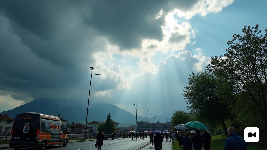
A new weather chapter in horizon
In recent days they have been marked by intense episodes of rain and storms that have affected various parts of Spain. Roberto Brasero, Antena 3 meteorologist, said that this climate instability is a consequence of the Jana storm, which caused significant accumulations of water. Although the storm has not come to an end, a short pause is expected before a new storm approaches.
A transitional day before the storm
In the course of Wednesday, weather conditions in Spain will experience a significant change. Brasero commented that the day will begin with the gradual retirement of the Borrasca Jana, offering a momentary breath before the arrival of the Konrad storm, scheduled for the afternoon.
Rain and wind expectations
Although in some areas there are times of calmness, the expert advocates to stay alert, as the storms could be present in Catalonia and the Balearic Islands during the morning. In addition, strong winds are anticipated in the southern part and some rainfall in the Canary Islands.
Konrad’s threat
As the day progresses, the skies will be clarified, but the moisture before the Konrad storm will begin to cover the sky with new clouds. The afternoon could wear new rains, especially in Extremadura and Andalusia, though with a smaller intensity than on past days.
A tricky Thursday on the horizon
Thursday promises to be a day of meteorological complications, with Konrad significantly increasing the odds of rain and storms. According to Brasero, storms are expected to be especially strong in southern Andalusia, and new rainfall will be expected in other areas of the country.
The temperatures and the impending snowfall
In addition to the rains on Friday, a drastic change in temperatures is expected. Brasero said that as Konrad leaves, a mass of cold air from northern Europe will be introduced to the peninsula, causing a significant decrease in temperatures and an increase in snowfall below 1,000 meters in the north of the country.
A winter weekend
Although the weekend may seem calmer in terms of precipitation, the cold will intensify its presence. In addition, there is a chance for a new storm to enter the west on Sunday afternoon, thus maintaining the winter atmosphere.
Final reflections
The variability of time in Spain is still a topic of interest, and weather forecasts remind us of the importance of keeping us informed and prepared for the sudden changes that could affect our daily routine.

