An active start of the week
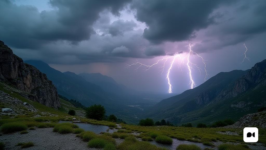
Catalonia faces a Tuesday with an unstable climate that promises a significant increase in stormy activity. From noon onwards, a new line of instability will begin to be heard, causing the formation of stormy clouds that will mainly impact the mountainous areas and some interior regions.
Critical areas for storms
The regions of the Pyrenees and Pre-Pyrenees, including Alt Urgell, Cerdanya, Ripollès and Berguedà, are under surveillance due to possible storms of great intensity. These could include unpredictable hail and gusts. Precipitation accumulations are expected, which could exceed 20 mm in short periods of time, according to the warnings issued by the Meteorological Service of Catalonia.
Danger in the Terres de l’Ebre
At the southern end, the Terres de l’Ebre will face a similar situation, with a combination of active marinade and cold air that can promote the growth of stormy clouds of great verticality.
Conditions Variables to subtract from the country
The rest of Catalonia will experience a variable sky, with clouds that will increase during the day, although with a lesser risk of rainfall, especially on the central coast and in the metropolitan area of Barcelona, where the storms that may appear will be weaker and scattered.
The weather context
This stormy episode is embedded in an unstable spring pattern that affects large areas of the northeast of the peninsula. The main cause is an anticyclone located in northern Europe, which opens the door to the cold air entry on the peninsula, thus creating conditions conducive to convective storms.
Forecasts for the Rest of the Week
Meteorologists expect to continue storms and thunderstorms on Wednesday and Thursday, although with a tendency to be more dispersed. Temperatures will remain fresh, with highs around 20 to 25 ° C in much of the territory.
Possible improvement by the end of the week
It is expected that from Friday the weather situation will begin to stabilize, with a decrease in disturbances and an increase in temperatures, especially in the central and southern areas. However, occasional spray can still occur in the mountainous areas.
Caution tips
Authorities recommend caution, especially in the areas that can be intensified. It is important to follow the weather updates, as these conditions can lead to severe phenomena such as strong electric shocks, hail or fast water accumulations.
With May progress, Catalonia remains in a period of meteorological instability, reflecting a dynamic spring and abundant in precipitation.

