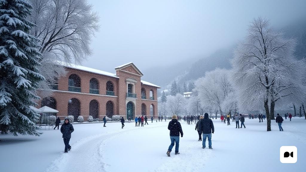
A cold wave settles in the mountains
Since Thursday, Catalonia has witnessed an intensification of snowfalls that have brought a notable amount of snow, especially in the highest areas of the Pyrenees. The snowfall, which began at midday, gained strength during the early hours of Friday, with accumulations that could reach up to 20 centimeters in some places.
Most affected areas and future expectations
The north face of the Aran Valley, as well as Pallars Sobirà and Jussà, are the areas that have received the most snow accumulation. This spectacular view of snowy landscapes has captivated all those who enjoy winter. In addition, meteorologists are already predicting the arrival of a new snowfall between Sunday and Monday, which promises to maintain the quality of the existing snow.
The impact of weather conditions
With snow levels dropping to 700 metres in some areas, conditions are expected to become increasingly severe. Snow is currently accumulating at altitudes around 2,000 metres, and as time goes on, the weather situation is expected to become more severe.
A winter promised with surprises
As anticipated, winter has arrived with force in Catalonia. The landscape has changed dramatically in recent weeks, offering a true glimpse of winter. With the arrival of these snowfalls, weather conditions are expected to continue to fluctuate, with strong winds adding to the chilly feeling.
Preparations for the holidays
As we approach Christmas, the weather forecast indicates that Christmas Day will be calm, with an anticyclone that will stabilize the weather. However, residents will have to deal with snowfall expected over the weekend, as well as temperatures that, despite being stable, will feel lower due to the wind.
Conclusions and reflections
With the ever-changing landscape, it’s vital to stay tuned for weather updates and prepare properly for winter conditions. Snowfall not only adds beauty to the landscape, but also reminds us of the importance of safety and preparation during this time of year.

