The return of precipitation to the peninsula
Spain is preparing for a new episode of rainfall and snowfall, as reported by the renowned meteorologist Roberto Brasero. On Monday, an Atlantic front has begun its entry, with a prominent intensity in Galicia and Asturias, and it is expected to move through the peninsula.
Temperatures in descent: a widespread effect
As this weather system progresses, the temperatures are expected to descend, especially in the northern parts, where the wind will also play a significant role. Brasero said that, although the descent will be steeper in the north, most of the country will experience a thermal decline.
Rain and wind forecasts for the autonomous communities
The forecasts indicate that the rains will be persistent in the northern mountainous regions, as well as in the Cantabrian and east of Catalonia, where storms are even expected. In contrast, the southeast areas, including Alicante and Murcia, will enjoy sunny time.
Snowfall to lower levels: a alert for the mountains
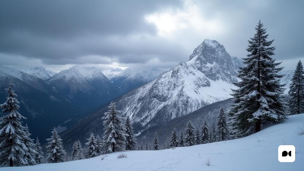
With the arrival of cold air, the snow level will fall considerably, setting around 900 meters in the region of the Pyrenees, while in other areas such as the Cantabrian Range it will remain around 1,200 meters. Although not foreseen mass snowfall, significant accumulations can be seen at this point.
Futuristic perspectives: frost and instability
The winter environment will consolidate as the days progress, with a significant decrease in night temperatures, which could lead to frost in various parts of central and northern the peninsula. Residents are expected to wake up with ice landscapes on Wednesday.
Uncertainty for the week: a changing front
On Thursday he will present an uncertain weather situation, with changes in models that indicate the possibility of a new cold storm that could affect southern Spain, leaving sprinkle in Andalusia. As the week progresses, the conditions will stabilize and high pressures could bring clearer skies to various regions.

