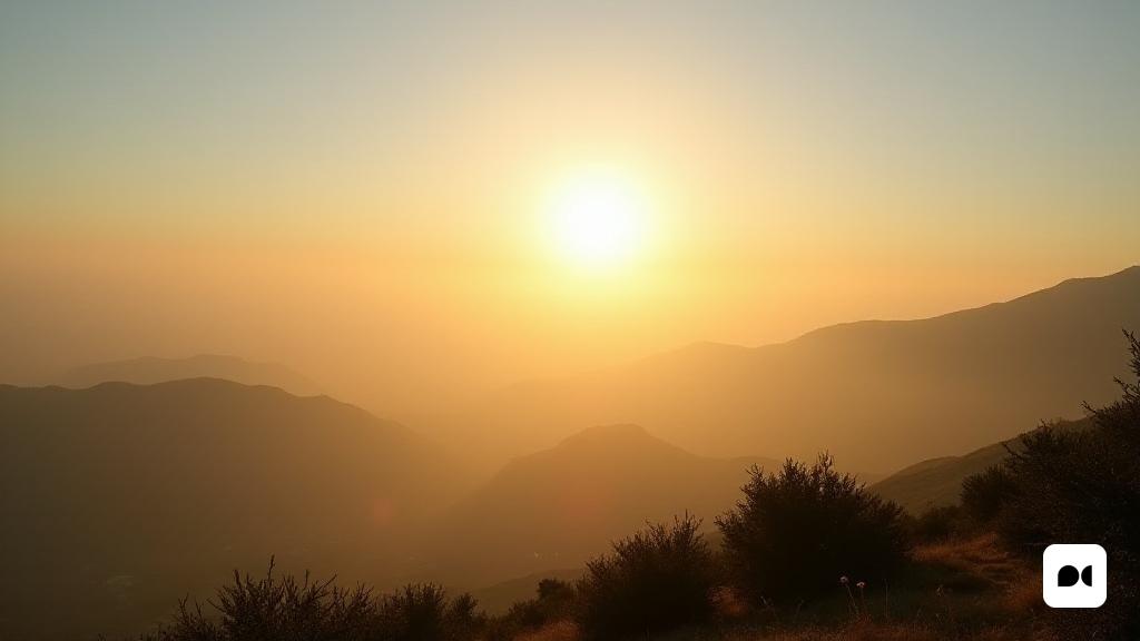
A Wednesday of Calitja and warm temperatures
This Wednesday, Spain faces a predominantly stable climate with a touch of heat, with thermometers that could reach about 30 ° C in some regions. However, the meteorologist Roberto Brasero has warned of the imminent presence of an atmospheric phenomenon that will mark the coming days: the calja.
What is the calja?
The calitja, a phenomenon that involves the suspension of desert dust particles, will be especially noticeable in the south of the country. Brasero explained that, although the sun will shine, the skies will become murky and the visibility will be reduced, thus affecting the quality of the air.
Initial conditions and possible affectations
In the early hours of the day, many areas have been surrounded by fog, especially in areas of the Cantabrian and Ebro. The calitja will extend through the southern peninsular third, with an impact that could be annoyed by those with respiratory conditions. The south wind will increase its intensity, with a significant change in the weather conditions.
The arrival of the borrasca Olivier
From Friday, the weather situation will be complicated by the arrival of the Olivier storm. This system will increase the cloudiness and the possibility of rains, especially in the west of the country. Fang showers, a consequence of the calitja, will also be a factor to consider.
Expectations for the weekend
Storms and rains could be intensely strong as the storm moves north. The weekend is expected to be marked by a continuity of instability, with possible sprinkles in the central and western regions. On Monday, a certain standardization is expected, although a new front from the north could lead to more rainfall.
Reflections on the changing climate
With these meteorological changes on the horizon, it is essential to be prepared for the variations that nature can present to us. The combination of Calitja and the Olivier storm reminds us that the climate can be both predictable and surprising, and its influence on our daily lives is undeniable.

