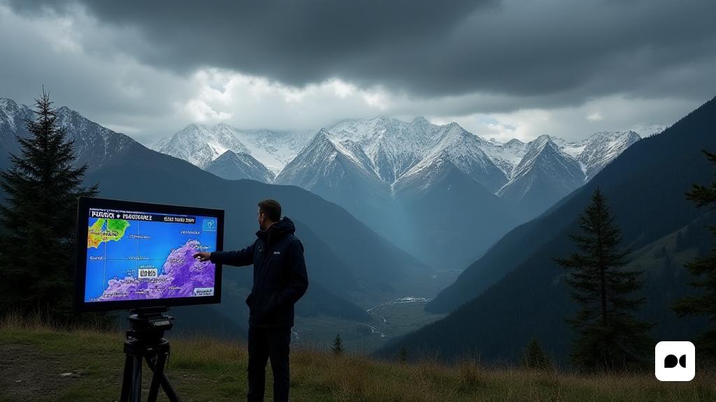
Time forecast: a new unstable day
Eloi Cordomí, an expert in TV3 meteorology, issued a warning of the variable climate conditions presented this Wednesday. After a stable period of time, the meteorological landscape has become more complex, with significant rains that have already begun to fall from early in the morning.
Key areas for rains
According to the latest updates, the meteorologist has identified the Pyrenees and the Pre -Pyrenees as the areas that will experience the most intense rainfall. He also said that the snow would begin to fall from 1,600 meters altitude, with expectations of maintaining a good thickness of snow in the northwest mountains.
Expected snowfall
Snowfall will not only be limited to the western parts of the Pyrenees, but also snowflakes are expected in the eastern areas. Counties such as Pallars Sobirà and Ripollès will see a continuity in the snowfall throughout the day, with the Aran Valley and the Alta Ribagorça, joining the list later.
A gray day without widespread rain
Despite the expectations of rain, not all the regions of Catalonia will face the same conditions. Cordomí has commented that some areas of the northeast will be able to enjoy sunshine, while the southern coast and the western part of the country will be the worst affected by showers.
The wind as a key factor
In addition to the rains, the wind will play an important role in today’s climate. Cordomí emphasized that the east wind would be strengthened in the southern half of the territory, with a notable refreshment that will make this Wednesday ideal for interior activities, moving away from the solar intensity of the previous days.
Expectations for Thursday
Looking at Thursday, forecasts indicate a return of the Sun, giving a pause to the weather instability that has marked the week. Citizens will enjoy a quieter day after the variable conditions of today.

