Meteorological effects for Holy Wednesday
In the coming hours, Spain will face a turbulent meteorological landscape, as meteorologist Roberto Brasero said. This Tuesday, a front that will move from the west to the east will cause rains that will affect large areas of the peninsula.
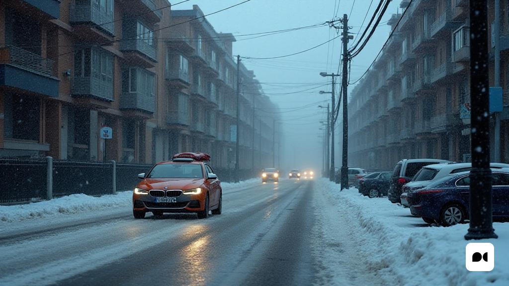
The conditions will be especially unstable, with the snow appearing in the northern mountains from 1000 meters of altitude, an unusual situation for this time of year.
Most affected areas and forecasting of storms
Brasero has warned that the rains will be more intensely located in Galicia, the interior of Cantabria and Catalonia. While in the south of the peninsula and the Canary Islands, the rainfall will be much more mild.
As the day progresses, intense showers are expected, with possible storms and hail, especially in the early afternoon. In the afternoon, the conditions will improve slightly with clearings to the west, but the wind will continue to blow strongly.
A Wednesday marked by winter temperatures
On Wednesday he promises to be a continuously unstable day, with temperatures that will fall even more in the first hour, with the possibility of slight frosts in northern and southeast regions.
In the afternoon, the maximum temperatures will be similar to those on Tuesday, with a slight recovery in the western areas. The most prominent storms will be concentrated in Catalonia and the Balearic Islands, while Galicia and the west of Asturias will experience persistent rains.
Holy Thursday: a temporary break in instability
According to the expert, Thursday Holy will represent a change, with a transitional day that will offer less rains and more sunshine. Although North and Galicia will keep cloudy skies, rainfall will be much weaker.
The snowfall in the Pyrenees will initially be limited to levels of 1,000 to 1,200 meters, increasing to 1,800-2,000 meters throughout the afternoon. In the rest of the peninsula, clouds with sunshine are expected, especially in the Mediterranean areas.
Looking to the future: changes to the horizon
On Friday, a new change is expected in the weather conditions with the arrival of a storm front that will enter Galicia and travel through the peninsula, wearing more widely distributed rains.
Although the focus of the rainfall will be concentrated in the northwest quadrant, it cannot be ruled out that they reach other parts of the center. Temperatures, meanwhile, could experience an increase in the Mediterranean areas, with maximums exceeding 20 ° C in cities such as Alicante, Malaga, Seville and Murcia.

