The continuation of the cold in the peninsula
Spain is immersed in a wave of freezing temperatures that, according to meteorologist Roberto Brasero, will not only continue, but will be accentuated by the entry of air from Siberia. This Tuesday, the weather conditions are presented with overcast skies and rain in the northern part of the country, where snowfalls will persist, although with less intensity than in previous days.
Snowfall and extreme temperatures
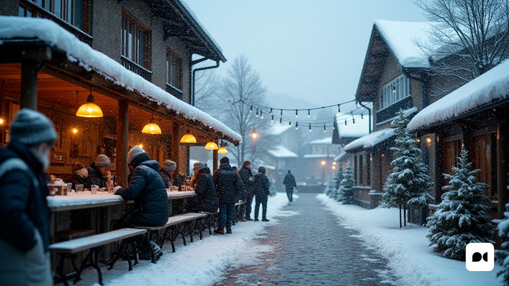
Despite the decrease in the amount of snow, the first moments of the day will maintain significant snowfall in the Serralada Cantabrica, with snow levels ranging between 700 and 1000 meters. In the Pyrenees, the snow could descend up to 600 meters, offering spectacular views of winter landscapes.
Frost everywhere
The cold becomes the true protagonist of the day. Brasero emphasizes that the frost will affect large areas of the interior of the northern peninsula and some regions of the southeast, with temperatures that will vary between 0 and -3 degrees. In the Pyrenees, the thermometers could drop to -8 degrees, while in cities like Burgos, Segovia or Teruel, the maximums will hardly exceed 5ºC. In contrast, Málaga stands out as the exception with temperatures that could reach up to 17ºC.
A change in the cold air
Today, the cold continues to be dominated by a significant change in its origin. Brasero explains that, while Arctic air is still present, its entry is now mainly from Siberia, which causes the air to arrive drier on the peninsula. This variation explains the lower intensity of snowfall compared to last Sunday, when the air crossed maritime areas loaded with moisture.
A relief in precipitation
Although temperatures will continue to be freezing, drier conditions will mean a slight decrease in snowfall, offering a small relief from precipitation.
Expectations for Wednesday
According to Brasero’s forecasts, Wednesday will follow the same dynamic. The frost could intensify, while the cold will continue to dominate the day. Instead, rain is expected on the Mediterranean coast, with the possibility of heavy showers in the south of Catalonia and the Valencian Country, as well as in the Strait.
Snowfall in the highest areas
Precipitation will also affect the Cantabrian Sea and Galicia, with snow levels ranging between 600 and 1200 meters, increasing slightly in the northeast. However, the atmosphere will remain icy, with the impact of arctic air continuing to influence the peninsular climate, promising days with very low temperatures.

