The arrival of a new wave of cold
After a brief break in climatic conditions, Spain is about to witness a new episode of rainfall and snowfall. According to Roberto Brasero, a recognized meteorologist, it is predicted that the rains and snowfall will be reactivated on Thursday, with a particular approach in the mountainous areas.
Abundant snow on the summits
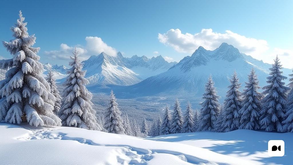
One of the highlights of this new cold wave is the accumulation of snow in the mountains, especially in those peaks that experienced a shortage of snow during the months of January and February. Brasero emphasizes that ‘we are currently seeing more significant snowfall than during the winter peak’.
Snow and affected areas
The snow levels are expected between 1,000 and 1,600 meters, a phenomenon that will be well received by skiers and snow lovers. The regions of the Pyrenees and the northern mountain ranges will be especially benefited, with expectations of abundant snowfall that will extend until the weekend.
An intense cold on the horizon
As it progresses on Thursday, temperatures will be affected by the arrival of cold air from the north. The thermal feeling will suffer, remembering more at the temperatures typical of the most rigorous winter. Brasero warns that the rains, which will be concentrated mainly in Andalusia, Murcia, Valencian Community and the Balearic Islands, could be accompanied by strong storms.
Impact of the storm
The northern communities will not be exempt from the consequences of this storm, with snowfall that can drop to 800-1,000 meters north and between 1,000-1,300 meters south.
Frozen forecasts
Although a pause in the rains is expected on Saturday, the cold will persist, with frosts that will affect the interior and north of the country. The Konrad storm will have given way to a more sunny time in some areas, but the cold will continue to be the protagonist over the weekend.
Possible variations for Sunday
On Sunday we could see a slight increase in temperatures, but frosts will continue to be a reality. The rains are expected to be milder, with some rainfall on the Cantabrian coast and in southern points, although a new storm could approach Monday with more rains on the horizon.
Final reflections
With this new wave of cold and rainfall, the citizens of Spain will have to prepare for a weekend that promises to be intensely winter. Outdoor activities, especially those related to snow, will be favored, while precautions in front of the cold and frost will be essential.

